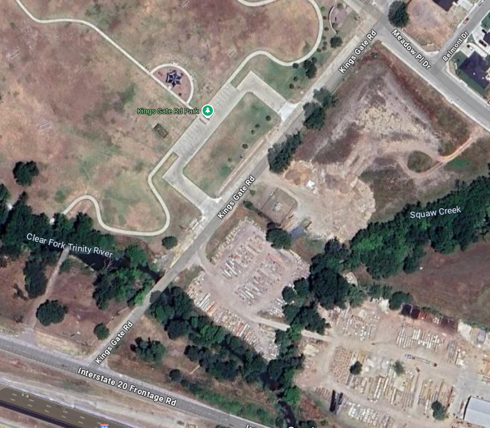
Mr. Madrid managed the Design Survey on this project, which included topographic work on 800 linear feet of Kings Gate Road, over and under two bridges on the Clear Fork Trinity River(one no longer in use), while simultaneously recovering the existing monumentation, in order to analyze field data to establish the existing ROW. Mr. Madrid directed the effort to recover multiple NGS monuments and benchmarks to support accuracy of the horizontal and vertical data control and created control sheets for the design plans for this project. He also created 3 right of way parcel plats for ROW acquisition and led his team to complete this project on time and on budget employing conventional and GPS methods.


